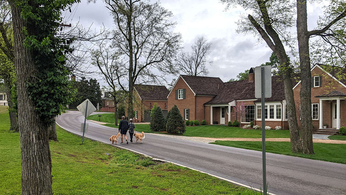
These sites greatly contribute to Nashville’s recreation and outdoor space network and represent immense historic, environmental, and economic value. While they have been popular destinations for many decades, these sites have experienced a surge in visitor traffic in recent years, compounded by Nashville’s tourism boom and the swell of park usage during the COVID-19 pandemic. This surge has resulted in increased vehicle traffic and spillover parking, impacting residential streets and the safety of pedestrians and cyclists.
About the Project
Interactive Map of Belle Meade Highlands Study Area
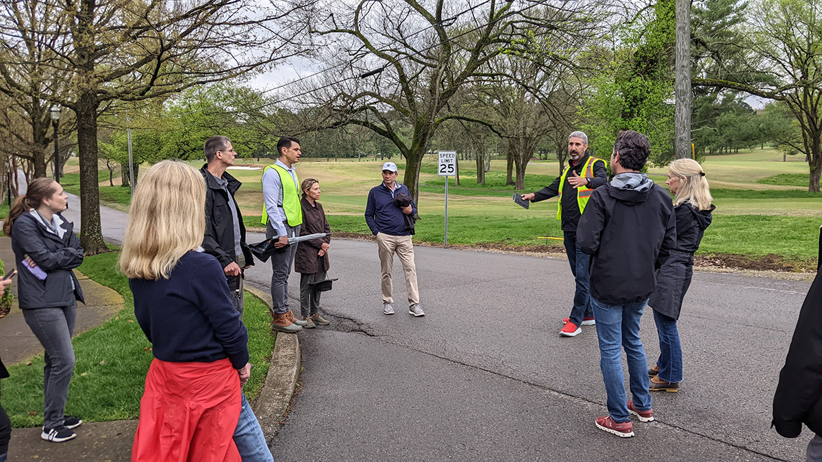
Metro Nashville Planning is working with a consultant group to conduct a comprehensive mobility and placemaking study of Belle Meade Highlands and offer recommendations for a transportation demand management strategy that encourages multi-mobility.
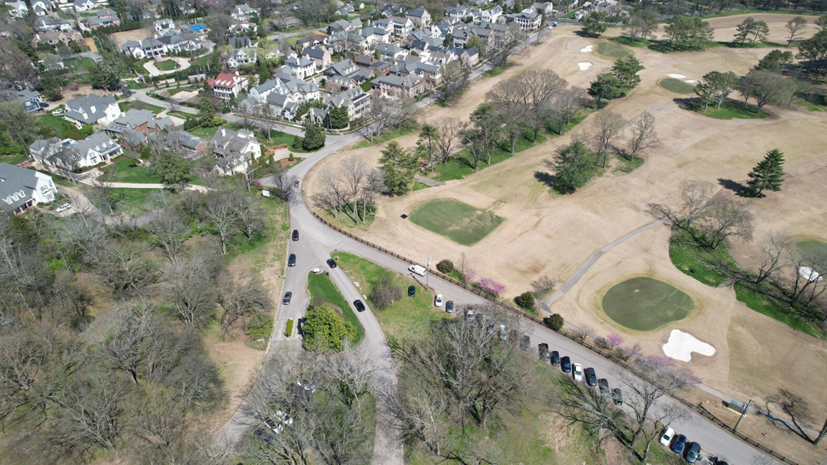
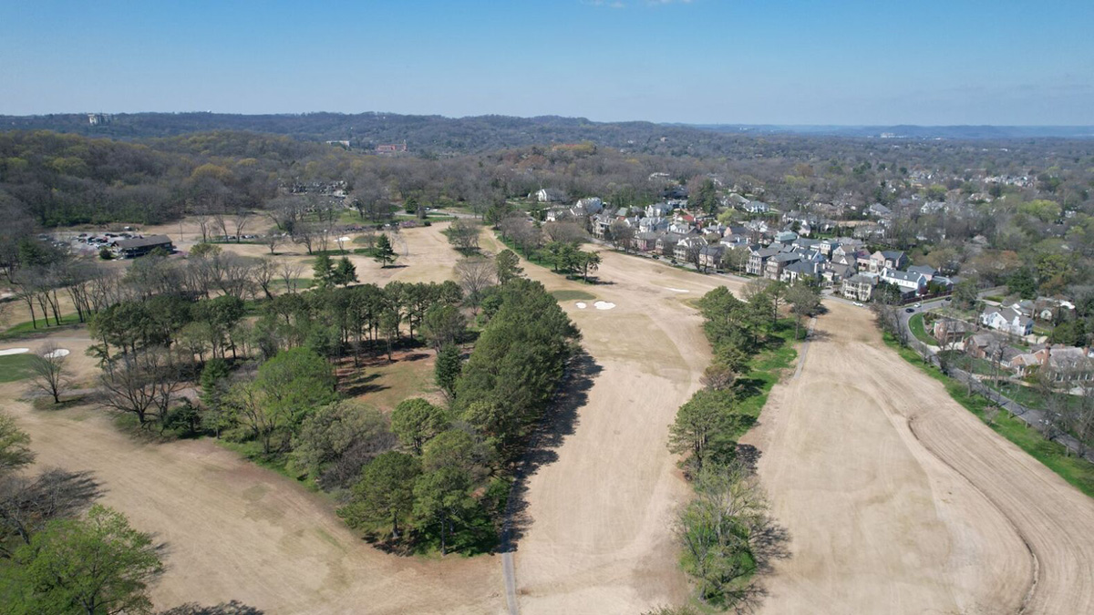
The study area is bound by Belle Meade Plantation to the north, Highway 70/100 commercial corridor to the west, the City of Belle Meade to the east, and Old Hickory Boulevard to the south.